Land Development has been my primary area of drafting / Design since 2002. I have worked in both large and small engineering firms (as well as independently) within the Los Angeles County area in both government and civilian projects. Please browse through some examples of my work both here and within the sub-menus above. –Please note that I am still gathering decent samples of all the different types of land development plans I’ve worked on through the years. This current list is very limited in the actual scope of my experience!

–click for larger image– |
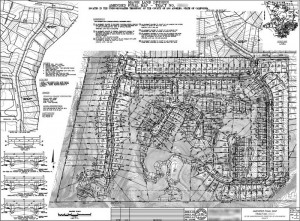
Sample Multi-Site Tentative Map
Here is an example of a Tentative Map developed within unincorporated Los Angeles County that I’ve created. I have experience in both large-scale and single-lot projects. Along with the Tentative Map, I’m experience with Exhibit “A” plans that normally accompany these maps. |

–click for larger image– |
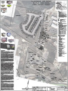
Conditional Use Permit (C.U.P.) Map
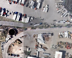
Here’s one of the most complex Conditional Use Permit (C.U.P.) plans I’ve created. It involved both on-site and recent aerial photography to indicate the approximate location of key items in the plan. I also included photos of all existing signage and fencing as was required in this project. Lastly, this plan involved merging aerial photography from LA County’s GIS website, and existing approved grading plans that were scanned and overlaid above these photos to show their implementation (see detail image to right) |

–click for larger image– |
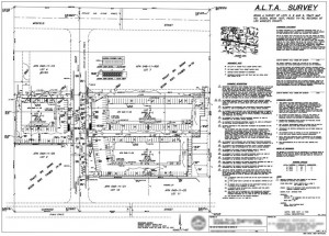
 -click image for larger view- A.L.T.A. Survey
Here’s an example of an A.L.T.A Survey Map I’ve done. |


